

A current gate begins as a source-identification problem. The operator must match the named waterway to the correct jurisdiction, official product, station, travel date, and time convention.
That prediction is one input in a larger departure decision. Weather, traffic, daylight, official notices, observed conditions, the actual boat, crew readiness, and local requirements remain separate checks. This article provides a method for reviewing those inputs, not a route or transit time.
Tide Predictions and Current Predictions
Every review should start by separating two products that answer different questions. A tide prediction describes expected water level. Current predictions describe expected horizontal water movement at a stated location.
The current Canadian Tide and Current Tables make the distinction directly. Tide tables list predicted times and heights for high and low water. Current tables list predicted slack-water times and maximum-current times and velocities.
Vertical Water Level
Tide is the vertical rise and fall of water over time. NOAA’s tide and current explanation describes tides as water moving up and down under the gravitational effects of the moon and sun.
A tide table therefore belongs to water-level questions. Its station, date, units, and datum must match the exact use. Water height at one station says nothing by itself about horizontal current at a different location.
Horizontal Water Movement
Current describes water moving from one location to another. Tidal current is the predictable component associated with the tide, while wind and other forces can also influence water movement.
A current prediction belongs to the named current station or published reference relationship. It may show predicted times of maximum flood, maximum ebb, or slack water. Those terms describe horizontal movement, not high and low water levels.
The Official Product for the Jurisdiction
The first chart review should establish whether the named water lies in Canada or the United States. A passage that crosses the border changes the official product family and notices system.
Use the hydrographic authority for the actual water. Then identify the matching region, table or digital product, current station, chart, publication, and notices. Navigation and communications redundancy for remote cruising supports access and preparation, but onboard electronics never replace this source check.
CHS Tables and Canadian Notices
For Canadian waters, begin with the current Canadian Hydrographic Service (CHS) publications. The 2026 page lists three Pacific regions. They cover Juan de Fuca Strait and Strait of Georgia, Discovery Passage and western Vancouver Island, and Queen Charlotte Sound to Dixon Entrance.
Select the volume that covers the named waterway, then follow its own station and reference instructions. The Canadian Atlas of Tidal Currents provides hourly surface-current direction and velocity for its covered regions. CHS says to use each atlas with the annual Canadian Tide and Current Tables.
Canadian navigation information also requires a currency check. The Canadian Coast Guard’s waterways management page separates NAVWARNs, Notices to Mariners (NOTMARs), tide/current information, and nautical publications. CHS further explains that NAVWARNs carry urgent information, while NOTMARs update affected charts and publications.
NOAA Predictions and U.S. Notices
For U.S. waters, use the exact NOAA tide or current prediction service for the named location. Confirm that the selected page is a current prediction, rather than a tide prediction, nearby result, or generic map.
Station details matter. NOAA’s Current Predictions FAQ explains that subordinate stations use time offsets and speed ratios tied to a reference station. The displayed interpolation between known maximum and slack values should not be treated as observed data.
Check current U.S. notices separately. The U.S. Coast Guard describes the Local Notice to Mariners as a source for aids, hazards, and other marine information within each Coast Guard district. Waters spanning districts require the applicable notice set for each district.
The Exact Table, Station, Date, and Time Convention
Finding an official website is only the beginning. Record the table or product title, edition or update state, station name and identifier, reference relationship, travel date, displayed units, datum, and time convention.
Read the product’s own notes before transferring any value into the plan. A familiar place name can refer to a tide station, current station, reference station, subordinate station, chart feature, or publication region. Those labels are not interchangeable.
Reference Relationships, Units, and Datum
Start with the exact station named by the applicable chart or publication. If the official product defines a subordinate-to-reference relationship, use its stated offset or ratio only as that product directs. Avoid inventing a relationship from geographic proximity.
Keep units attached to every copied value. Record whether the product reports water height, current velocity, flood or ebb direction, or time. Confirm the datum shown for water-level information and any stated depth reference for a current station.
Time deserves its own line in the review record. Note the displayed time zone and whether the product applies daylight-saving time automatically, requires a conversion, or uses another convention. Confirm the travel date after setting those controls.
Why a Nearby Station or Saved Screenshot Is Not a Substitute
A nearby station can measure or predict a different physical relationship. NOAA notes that current-station locations and depths vary, while subordinate stations depend on stated reference-station adjustments. Geographic closeness alone cannot establish equivalence.
A saved screenshot also hides critical context. It may omit the year, station type, units, datum, time convention, update notice, or correction. Reopen the current official product and reproduce the full selection before each departure decision.
The same rule applies to an image in an article, guide, or social post. It can illustrate a product interface, but it cannot replace the live official data for the actual date and station.
The Current Prediction in the Departure Decision
Once verified, the current prediction enters the departure record as one input. It does not issue permission, describe the water now, or decide whether the boat and crew should proceed.
Record the source, station, travel date, time convention, predicted event, units, and recheck time. Keep the surrounding decision inputs beside it so a single table value never becomes the whole plan.
Prediction and Observation Are Different Inputs
A tidal-current prediction comes from analysis of measured tidal behavior at a station. NOAA’s current survey explanation says its tidal predictions exclude influences such as wind because those influences cannot be forecast far into the future.
Observed conditions therefore need a separate source and timestamp. Compare the prediction with current weather information, available water and current observations, traffic, visibility, and official restrictions. A match between prediction and expectation remains different from a direct observation.
Why High or Low Tide Does Not Supply Slack-Current Time
High water, low water, and slack current can occur in different relationships at different places. NOAA’s Tides & Currents FAQ says the common rule equating high or low tide with slack water fails for most locations.
Use the official current prediction for current timing. Keep the tide prediction with water-level questions. Never calculate a slack-current time from a high- or low-water time unless the current official publication explicitly supplies the required relationship for that location.
Even an official slack prediction is still a prediction. It offers no guarantee of a particular observed current, duration, vessel response, or safe transit.
Conditions the Table Does Not Resolve
A current table cannot evaluate the whole operating environment. It does not resolve weather, traffic, daylight, visibility, navigational warnings, temporary restrictions, or conditions observed at the waterway.
Treat each category as its own live check. Avoid using a favorable predicted current to override an unfavorable condition elsewhere in the plan.
Weather, Traffic, Daylight, and Official Notices
Check the forecast and observations that apply to the actual voyage. Weather-window planning for Pacific Northwest coastal hops covers that separate task. This article supplies no forecast threshold or weather verdict.
Review current traffic information and daylight for the intended operating period. Check the applicable Canadian NAVWARNs and NOTMARs or U.S. Local and Broadcast Notices to Mariners. Also check any current authority-issued closure, restriction, or local requirement for the named water.
Observed Conditions and Current Restrictions
Compare the plan with conditions observed near departure and during the approach. Wind, visibility, traffic, debris, equipment status, and the apparent movement of water can differ from the planning picture.
If an observation conflicts with the prediction or the situation remains uncertain, pause the decision. Recheck the station, date, time convention, current notice, and source currency. Obtain current local or professional guidance when the conflict remains unresolved.
The Operational Decision
The responsible operator makes the final decision from the complete live picture. Here, the prediction contributes information. The boat, crew, weather, traffic, daylight, notices, observations, and local requirements define the actual operating context.
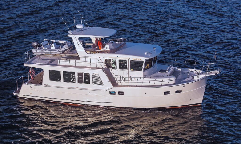
No current value works as a universal safety threshold. Vessel size, speed, or brand also cannot turn a generic prediction into a passage verdict. This article makes no claim that a North Pacific Yacht is suited to a particular current or constriction.
The Actual Boat, Crew, and Current Publications
Review the boat’s current documentation, equipment status, handling limits, and any restrictions supplied by its manuals or qualified professionals. Consider the crew’s competence, health, fatigue, role clarity, and ability to respond if conditions change.
Use current charts and publications for the exact area. Verify required equipment, authority guidance, and any pilotage or local reporting obligation with the governing source. A prior trip by the same boat or crew does not settle today’s decision.
Close-quarters technique belongs to separate coverage of docking in wind and current. It supplies no method for transiting a tidal rapid or current gate.
Local or Professional Guidance When the Plan Remains Unclear
Seek guidance from the applicable authority, local professionals, a qualified captain, or a pilot when the station relationship, publication, notice, restriction, or operating judgment remains unclear. Give that person the exact waterway, date, boat, draft plan, and sources already checked.
Ask for clarification of the unresolved point, not a reusable number for other places. Conditions and station relationships are location-specific. Advice for one passage, vessel, crew, date, or direction cannot become a general rule.
Identify the jurisdiction, exact official current station and table, date, time convention, and current notices. Make the departure decision from the full set of live conditions.
Sources
- Canadian Hydrographic Service: Canadian Tide and Current Tables
- Canadian Hydrographic Service: Canadian Atlas of Tidal Currents
- Canadian Coast Guard: Waterways Management
- Canadian Hydrographic Service: Frequently Asked Questions
- NOAA Ocean Service: What’s the Difference Between a Tide and a Current?
- NOAA Tides & Currents: Frequently Asked Questions
- NOAA Current Predictions: Frequently Asked Questions
- NOAA Ocean Service: What Is a Current Survey?
- U.S. Coast Guard Navigation Center: Local Notice to Mariners FAQ