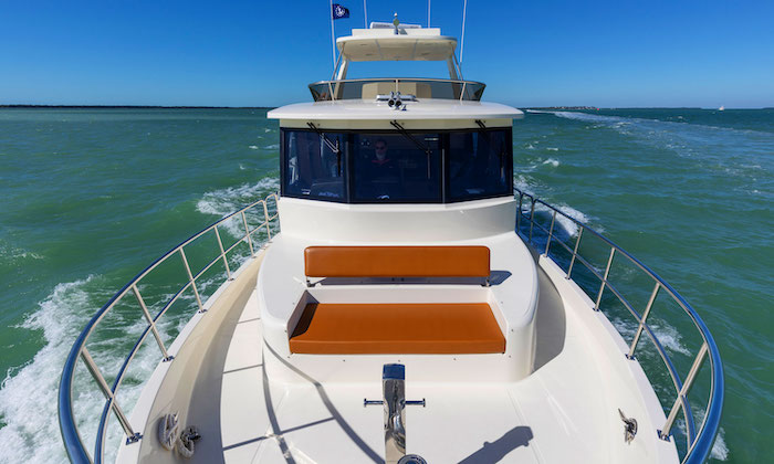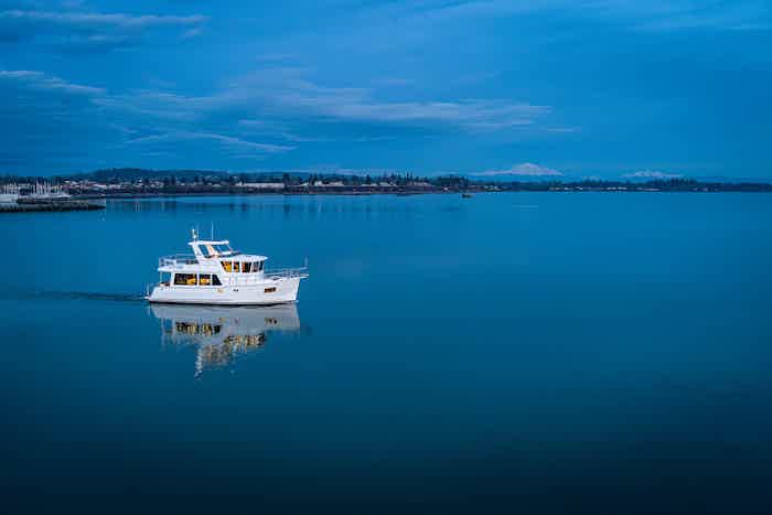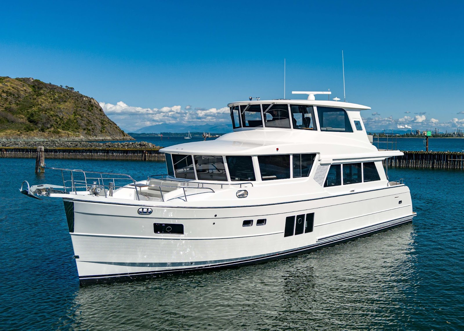
Cruising the Florida Panhandle offers a striking change of scenery from the Atlantic side of the state. Quartz sand dunes, protected pine reserves, and quiet barrier islands frame a coastline shaped by maritime history and shifting Gulf currents. However, turning a Panhandle passage into a smooth vacation requires matching your shoreside expectations with local reality. State parks and barrier reserves along this coast do not offer turnkey yacht slips, and public docks often serve ferries or small trailered skiffs rather than cruising vessels.
A successful itinerary starts by choosing a well-serviced mainland base, then planning shore excursions through verified tender landings, official park passenger services, or shoreside vehicle transit.
Three Distinct Cruising Bases in the Panhandle
The Florida Panhandle divides into three distinct operational regions, each offering different access to historic sites, beaches, and town life.
Pensacola Bay and Perdido Key
Pensacola anchors the western Panhandle with deep-water port access and deep military roots. Pensacola Bay, Santa Rosa Sound, and Perdido Bay give the region a varied waterfront setting. The regional draw here is a blend of downtown dining and preserved fortifications.
Docking downtown places you within walking distance of historic districts, provisioning markets, and museums. Shore excursions toward Perdido Key or the preserved barrier reaches of Gulf Islands National Seashore yield quiet beaches, salt marshes, and sprawling civil defense works. The balance here tilts toward culture, dining, and military heritage, with marina options to check against your yacht’s dimensions.
St. Andrews Bay and Panama City
Positioned mid-Panhandle, St. Andrews Bay is a harbor area serving Panama City and Panama City Beach. It functions as an ideal logistics hub midway between Pensacola and the Big Bend.
Check the services at your intended St. Andrews Bay berth before planning fuel or maintenance stops. More importantly, it is the primary jumping-off point for exploring the undeveloped barrier shoreline of Shell Island. The area offers an energetic mix of commercial waterfront, charter operations, and isolated Gulf beaches just across the shipping channel.
St. Joseph Bay and the Apalachicola Basin
To the east lies Florida’s Forgotten Coast, centered around Port St. Joe, the St. Joseph Peninsula, and historic Apalachicola. This region trades resort town density for old-Florida maritime culture, working shrimp fleets, and vast coastal preserves.
Apalachicola sits on its namesake bay, famous for its historic timber homes, local seafood houses, and oyster heritage. West of the town, St. Joseph Bay provides an exceptionally clear saltwater basin bordered by expansive dunes. Services in this region are fewer and more spread out, making it an appealing retreat for cruisers who prioritize birdwatching, secluded shorelines, and a slower pace over urban nightlife.
Matching Island Experiences to Real-World Shore Access
Visiting Panhandle barrier ecosystems requires looking past brochure photography to understand how you actually step ashore. A state or federal park boundary on a chart is never a guarantee of private yacht facilities.
Shell Island via Dedicated Excursion
Shell Island is an undeveloped, seven-mile barrier spit separating St. Andrews Bay from the Gulf of Mexico. It is entirely boat-dependent, with no roads, concession stands, or restrooms.
Cruising yachts cannot simply treat this fragile barrier island as a default overnight berth. Instead, plan a day visit. Confirm any private-boat visit and permitted landing separately with the park, using current conditions and the requirements of your yacht and tender. Alternatively, leaving the yacht at a marina and boarding the official Shell Island Adventures ferry from St. Andrews State Park offers a way to reach the island without planning a private tender landing.
St. Joseph Peninsula
T.H. Stone Memorial St. Joseph Peninsula State Park spans the northern tip of the narrow peninsula enclosing St. Joseph Bay. It is important to note that this is a peninsula, not an offshore island, though its isolated spit feels worlds away from the mainland.
The park features high coastal dunes, pine flatwoods, and white beaches fronting both the open Gulf and the shallow bay. While the state park maintains a marina basin, the basin has limited space and the ramp is described for trailered vessels. One shore-day option is to confirm a suitable regional berth and arrange ground transportation along Cape San Blas Road to hike the nature trails, observe seasonal bird migrations, and comb the Gulf beaches.
St. George Island
Fronting Apalachicola Bay, St. George Island is a 28-mile barrier island that shelters the rich estuary behind it. Dr. Julian G. Bruce St. George Island State Park occupies the island’s eastern end, offering nine miles of undeveloped white sand, coastal scrub, and marshes.
Do not assume that the park has a suitable berth for your yacht. Furthermore, infrastructure projects occasionally alter park services; for example, the park announced a campground closure effective July 13, 2026. The practical path to exploring St. George Island is booking a berth along the regional waterway, then arranging a drive across the bridge to St. George Island. This allows a day of beach walking, lighthouse visits, and wildlife viewing without anchoring worries along an exposed barrier shoreline.
Protecting Dunes, Grasses, and Nesting Habitats
Panhandle shores support sensitive flora and fauna that dictate where you may land and step ashore. Understanding these rules ensures park resources remain protected.
- Federal Ferry Landings: In Gulf Islands National Seashore, private vessel docking is strictly forbidden at the Fort Pickens ferry pier. This infrastructure is reserved exclusively for official concession ferries.
- Dune Preservation: Use designated paths and follow posted park restrictions around dunes. Panhandle dunes are anchored by sea oats; foot traffic destroys root networks and accelerates storm washouts.
- Seasonal Nesting Closures: Both sea turtles and shorebirds—including snowy plovers, least terns, and black skimmers—nest directly on upper beaches and spoil islands from spring through late summer. Marked enclosures must be given wide berth.
- Seagrass Meadows: St. Joseph Bay and St. Andrews Bay contain critical seagrass beds. When operating tenders near the shoreline, watch for shallow shoals to prevent prop scarring, which damages marine habitat.
Charts, Seasons, and Harbor Logistics
Solid preparation prevents minor regional surprises from disrupting your cruise. Always consult current NOAA ENC-derived custom charts and monitor weekly Local Notices to Mariners for changing shoals, marker updates, and seasonal dredging operations around dynamic Gulf inlets. Never rely on discontinued paper chart prints.
Weather timing requires equal discipline. Atlantic basin hurricane season extends from June 1 through November 30, though tropical low-pressure systems and heavy squalls can form outside these dates. The Gulf of Mexico has no guaranteed calm season; autumn brings refreshing cold fronts, but those same fronts introduce stiff north winds that quickly alter bay conditions. For marina stays, call well in advance. Downtown facilities like Palafox Pier in Pensacola publish transient rates, and you should confirm slip dimensions, draft allowances, and power requirements directly with the dockmaster before committing to an approach. If you are weighing a Panhandle cruise against passages in the Northeast or the Pacific Northwest, review our destination guides for comparative regional planning.
Finding the Right Pace for Panhandle Waters
Cruising the Florida Panhandle is ultimately about setting realistic expectations for shore access. When you treat the yacht as a mobile waterfront home base and use tenders, ferries, and ground transport to reach the barrier shores, the region reveals its true appeal. You gain access to historic masonry forts, quiet barrier island beaches, and working fishing harbors without fighting unsuitable berths. If you are outfitting a vessel for long-range coastal runs or matching a platform to your family’s travel style, talk with us to explore how a well-designed yacht supports your regional adventures.
Sources
- Shell Island — official tourism
- Shell Island Adventures — Florida State Parks
- St Joseph Peninsula experiences and amenities
- Big Bend Scenic Byway guide
- St George Island State Park
- Gulf Islands seashore compendium
- NOAA Custom Charts
- NHC tropical cyclone climatology
- Palafox Pier marina
- Palafox Pier shore access